April 2016: Landslide hazards in Washington State
Sunday, April 24 at 5:30pm
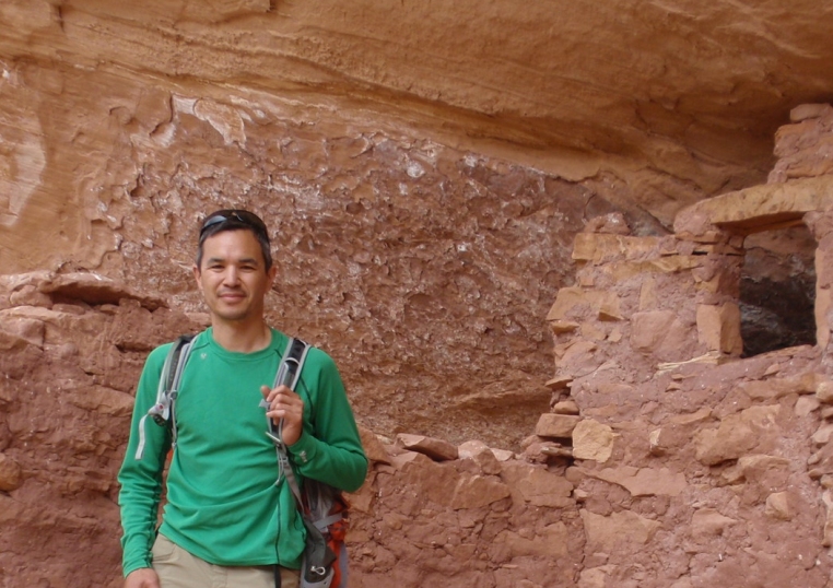
MV Interpretive Center – TwispWorks Stephen Slaughter is the landslide hazards program manager at the Division of Geology and Earth Resources a.k.a. the Washington Geological Survey) at the Washington Department of Natural Resources (DNR). His eleven year career at DNR has included working as a forest geologist assessing potentially unstable slopes related to forest management activities on state-managed lands, modeling potential landslide and liquefaction zones from a magnitude 9 earthquake for coastal communities of Washington, lead geologist at the 2014 SR530 Oso landslide, partnering with the US Geological Survey on modeling post-wildfire debris flow hazards in central Washington, and most recently, developing a new landslide hazards program (LHP) for the state of Washington. The newly established LHP team of five geologists is currently developing new protocols for mapping landslides and landslide susceptibility from high-resolution LIDAR topographic data. The pilot project is currently underway in Pierce County, mapping all landslide deposits using high-quality LIDAR with the ultimate goal of assessing landslide hazard and risk to county residents. Stephen, a Washington native, earned both his BS and MS in geology, and has lived on both sides of the Cascade Range. He currently resides in Olympia with his wife and two large cats.

Comments
April 2016: Landslide hazards in Washington State — No Comments